
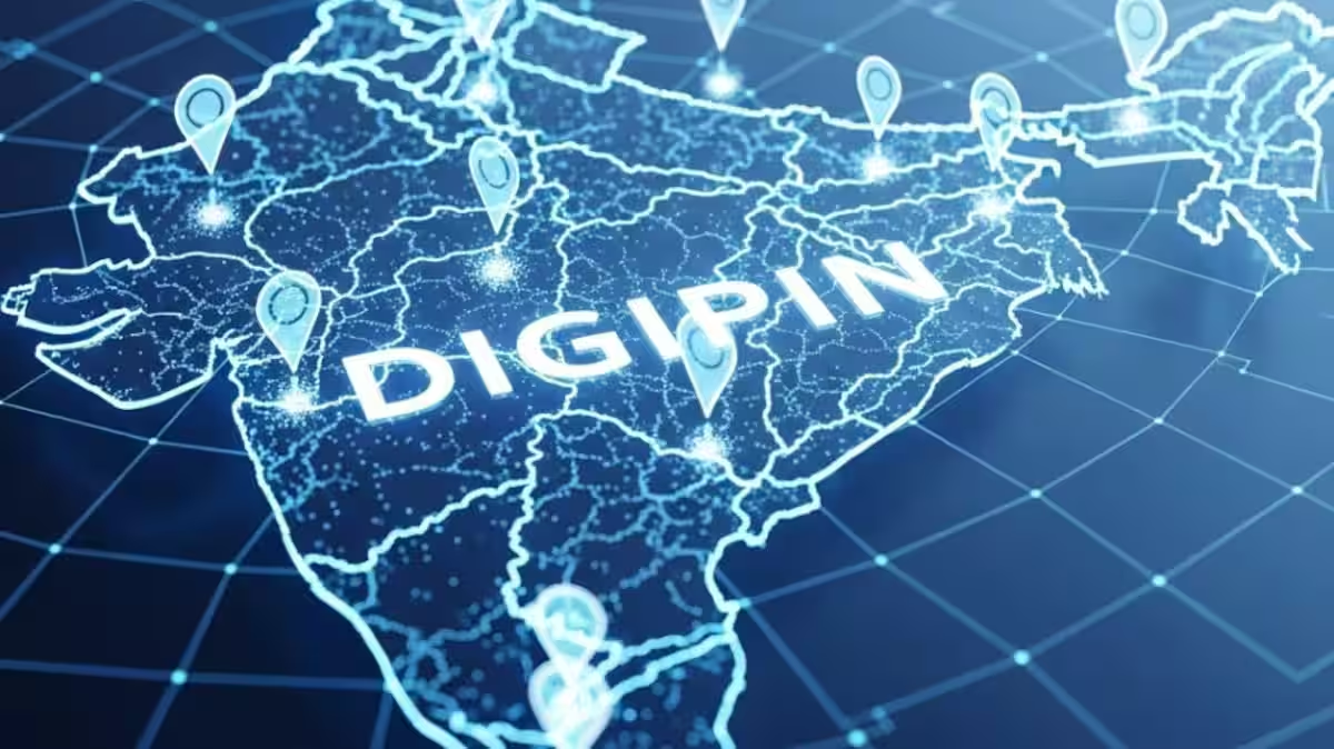
India’s New Digital Address System: DIGIPIN Explained
India has taken a major step in modernising its address and mapping systems with the introduction of DIGIPIN, a new digital address platform launched by the government in May 2025. The Department of Posts developed this system in collaboration with IIT Hyderabad and ISRO’s National Remote Sensing Centre (NRSC) to simplify location mapping, enhance logistics, and improve emergency response across the country. DIGIPIN is part of the broader National Geospatial Policy 2022, aiming to make India’s geospatial governance and digital infrastructure more efficient and future-ready.
Unlike the traditional six-digit PIN code, which covers wider postal zones, DIGIPIN offers precise, location-level digital addresses that are accurate down to approximately a 4×4 metre grid on the map. This level of precision makes DIGIPIN especially helpful for deliveries, navigation, emergency services, and any service that depends on finding exact points on the ground.
What Exactly Is DIGIPIN?
DIGIPIN stands for Digital Postal Index Number and is an open-source, interoperable, and geo-coded digital address system developed by India Post with support from national technology institutions. Each DIGIPIN is a unique 10-character alphanumeric code based on latitude and longitude coordinates, making it far more accurate than traditional addressing systems.
This code does not replace the PIN code system but works alongside it to provide a digital layer of precise location data. While a single PIN code may cover hundreds of households, a DIGIPIN identifies a specific grid that can represent a particular house, building entrance, driveway point, or even a remote spot in the countryside.
Because it is designed to be interoperable, DIGIPIN works smoothly with different systems such as GIS tools, logistics networks, e-commerce platforms, and emergency response services, without locking users into any single platform.
Why DIGIPIN Matters for India
One of the main goals behind launching DIGIPIN was to improve last-mile delivery, especially in areas where traditional addresses are difficult to find. This has been a long-standing challenge for e-commerce, postal services, and delivery partners in rural and underserved regions of India. With a unique code tied to a precise location, delivery drivers can locate homes more easily, reducing errors and delivery times.
Beyond logistics, DIGIPIN is expected to help emergency services reach the right place quickly, whether it’s an ambulance needing to find a precise address or disaster response teams identifying affected areas. Because the code is based on geolocation coordinates, DIGIPIN can also assist in planning and managing infrastructure projects, urban services, and public utilities.
The system aligns with India’s digital governance goals by enabling Address-as-a-Service (AaaS)—a model where accurate address data becomes a reliable foundation for interactions between citizens, government bodies, and private sector organisations.
DIGIPIN vs Traditional PIN Code
It’s important to understand how DIGIPIN differs from the conventional six-digit PIN code that has been in use since 1972. The traditional PIN code identifies a postal area serviced by a post office, often covering many streets, localities, or even multiple small towns. While useful for sorting and routing mail, PIN codes do not pinpoint exact locations.
DIGIPIN, on the other hand, provides a specific geolocation reference. Each code corresponds to a small grid area, making navigation and delivery much more precise than with PIN codes alone. DIGIPIN codes are alphanumeric and designed for digital systems, whereas PIN codes are numerical and region-based.
In this sense, DIGIPIN is not replacing the PIN code system but enhancing it by adding a level of address precision that traditional codes cannot match.
How to Find Your DIGIPIN Code
Finding your DIGIPIN is straightforward. India Post has launched an official “Know Your DIGIPIN” portal where users can generate their unique code. To begin, open the DIGIPIN portal in a web browser on your phone or computer. The system may prompt you to allow GPS access so it can detect your exact coordinates. You can also manually search for an address or move the map to the exact spot you want to locate.
Once you place the pin on the desired location—whether it’s your home, workplace, or another specific spot the portal automatically generates the 10-character DIGIPIN. You can then copy, save, or share this code for use in deliveries, registrations, navigation apps, or emergency contacts.
Future of Location Mapping in India
As DIGIPIN becomes more widely used, it may transform how addresses are recorded, shared, and utilised in India. Already, tech firms are integrating the DIGIPIN system into mapping and logistics platforms, demonstrating its potential far beyond mail delivery.
With its combination of precision, digital compatibility, and open-source design, DIGIPIN is set to become a foundational component of India’s geospatial infrastructure. Whether for improving e-commerce delivery, aiding emergency response, or supporting government services, this modern address system marks a significant leap forward in how locations are identified and used across the country.
Though adoption will grow gradually, the launch of DIGIPIN is widely seen as a meaningful move toward a smarter, location-centric India that leverages digital tools to serve citizens better and streamline operations for businesses and governments alike.
Related posts:
 Understanding ECI’s Special Intensive Revision SIR for Voter Lists in 12 Regions
 Bengaluru Woman Loses ₹31.83 Crore in Horrific “Digital Arrest” Scam
 Kavach Train Protection System Transforms Safety on North Eastern Railway
 India’s New E-Passport: Safer, Smarter, and Faster Travel for All
 Fixing PAN Card Name Mismatch: A Simple Guide for 2025
 Top 10 Technologies for 2026 Shaping India’s Future Jobs
 Delhi Fog Flight Disruptions: Passenger Rights, Refunds, And What To Do
 RBI Tightens Aadhaar OTP KYC Rules to Curb Bank Fraud
 CGHS OPD Fees Clarified, Ayush Bima Launched for Beneficiaries
 Maharashtra Launches Bhu-Aadhaar to Modernise Farm Land Records System